Bangkok floods, 26 Sep 2026: which roads are flooded (updated 1:00 pm)


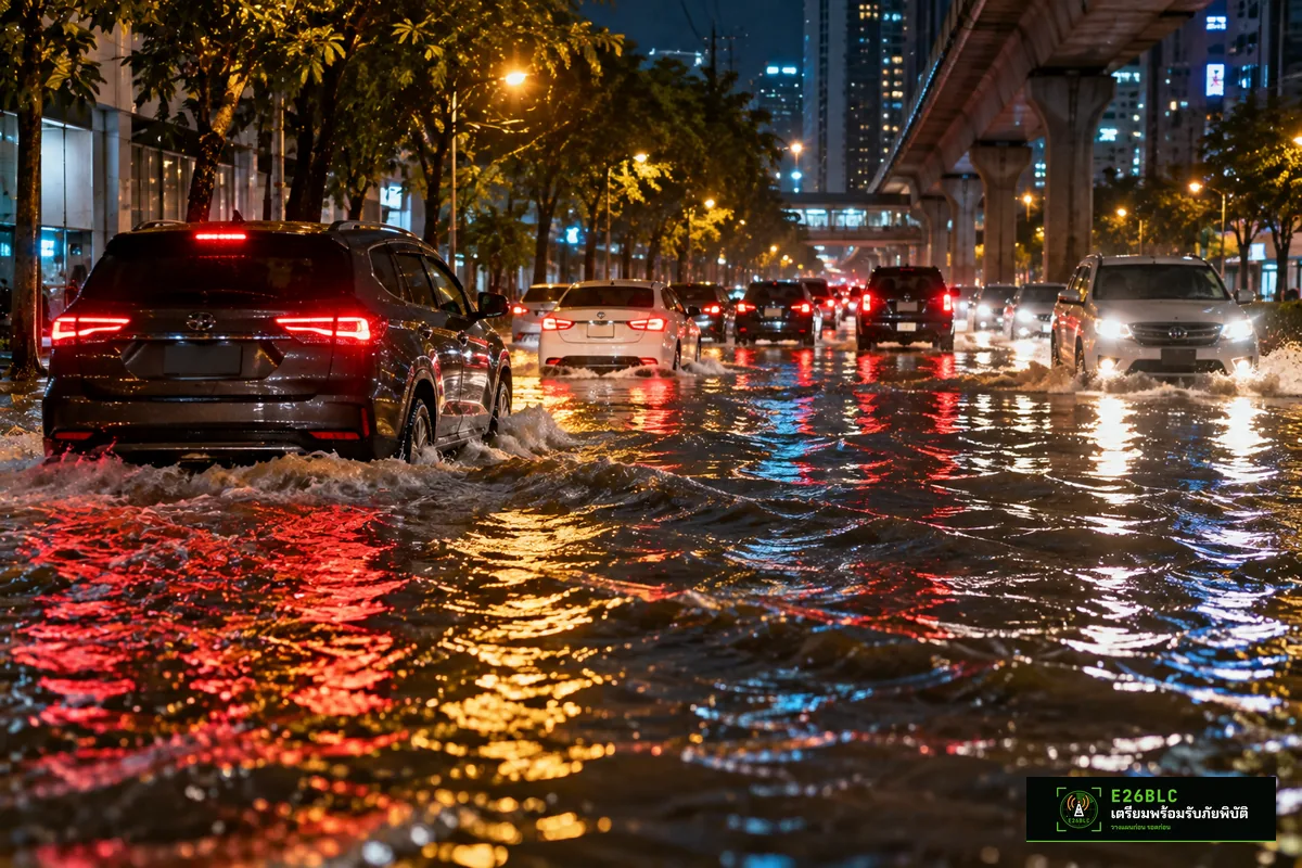
Quick summary Bangkok floods on 26 Sep 2026: road-flood sensors of the BMA Drainage and Sewerage Department, read at 12:50–13:00, show standing water on many Bangkok roads. The deepest point is Ngam Wong Wan Rd at Phong Phet intersection, 64.5 cm. Most are in the north and east of the city — Lak Si, Chatuchak, Lat Phrao, Wang Thonglang, Bueng Kum and Ramkhamhaeng. Avoid travel if you can, especially by sedan or motorcycle.
Bangkok floods: deepest points (BMA drainage sensors)
| Road / sensor point | District | Water depth (cm) |
|---|---|---|
| Ngam Wong Wan Rd (Phong Phet intersection) | Lak Si | 64.5 |
| Soi Lat Phrao 122 (Charina Hotel) | Wang Thonglang | 58.1 |
| New Phetchaburi Rd (Singha Complex) | Huai Khwang | 55.3 |
| Soi Ramkhamhaeng 43/1 | Wang Thonglang | 52.1 |
| Ratchada–Lat Phrao (Bangkok Bank) | Chatuchak | 49.6 |
| Ngam Wong Wan Rd (Soi Chin Khet) | Lak Si | 47.1 |
| Din Daeng Rd (Phibun school) | Din Daeng | 47.0 |
| Phatthanakan Rd (Srinagarindra intersection) | Suan Luang | 43.2 |
| Nawamin Rd (Santi Asoke) | Bueng Kum | 42.2 |
| Phahon Yothin Rd (Sanam Pao) | Phaya Thai | 42.1 |
| Ramkhamhaeng Rd (Soi 3) | Suan Luang | 35.1 |
| Nawamin Rd (Soi 135) | Bueng Kum | 31.9 |
| Ratchadaphisek Rd (Chinese Embassy) | Din Daeng | 29.9 |
| Si Ayutthaya Rd (Si Ayutthaya school) | Ratchathewi | 21.1 |
| Chaloem Phrakiat Rama 9 Rd (Si Udom intersection) | Prawet | 16.9 |
| Ngam Wong Wan Rd (Kaset intersection) | Chatuchak | 15.9 |
Readings taken 12:50–13:00
Water levels change quickly. Check the latest readings before heading out at weather.bangkok.go.th/flood
Other roads the system reports as flooded
Besides the deepest spots above, the Bangkok system also reported standing water on these roads (36 roads)
| Road | Reported spots |
|---|---|
| Ram Inthra | — |
| Phahon Yothin | 11th Infantry Regiment Kasetsart University |
| Theparak | — |
| Watcharaphon | — |
| Chaeng Watthana | Phranakhon Rajabhat University NT |
| Nawamin | Soi 38 Soi 105 Soi 155 Bang Kapi Intersection Lat Phrao Police Station |
| Prasert Manukit | — |
| Ramkhamhaeng | Soi 19/1 Soi 20 Soi 43 Soi 53 |
| Hua Mak | — |
| Srinagarindra | Lam Sali Intersection Kamphaeng Phet 7 |
| Ratchadaphisek | Criminal Court Phahon Yothin Police Station Chandrakasem Rajabhat University |
| Sena Nikhom 1 | — |
| Din Daeng | — |
| Vibhavadi (outbound) | Kamphaeng Phet 6 |
| Chang Akat Uthit | — |
| Luang Phaeng | — |
| Chao Khun Thahan | — |
| Sukhonthasawat | — |
| Nak Niwat | — |
| Chokchai 4 | — |
| Lat Phrao Wang Hin | — |
| Suwinthawong | — |
| Sihaburanukit | — |
| Wachirathammasathit | — |
| Chaloem Phrakiat Rama 9 | — |
| On Nut | — |
| Sukhumvit 71 | Khlong Tan |
| Phatthanakan | Soi 53 |
| Lat Phrao | Soi 89 Soi 110 |
| Intharaphon | — |
| Bang Khun Thian | Soi 10 |
| Pracha Uthit | — |
| Pracharat Bamphen | — |
| Seri Thai | — |
| Phetkasem | Mitpracha Hospital |
| Sukhaphiban 5 | — |
These sensors show an * and report in steps (10–20 cm). Treat them as a warning that water is standing, not as an exact depth.
Check 3 things before you leave home
- Water on the road: BMA road flood map weather.bangkok.go.th/flood
- Traffic and cameras: Longdo Traffic or BMA CCTV
- Rain on the way: Thai Meteorological Department radar weather.tmd.go.th
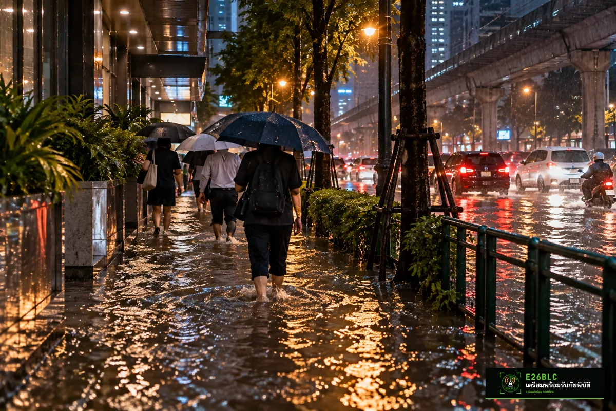
Do not drive or walk through fast-flowing water. Watch out for open drains and electrical leaks near power poles and billboards.
Hotlines to save
Follow Bangkok floods live
The figures in this article are a snapshot at 1:00 pm. Conditions change quickly with rain and tides. Before you travel, open thelatest flood situation boardwhich gathers reports from the public and radio, check theTMD rain radar alongside Windyto see where the rain is heading, and use theflood tools and official linksto decide. If you find a flooded road, or one where the water has gone down, pleaseReport floodingso others can reroute in time.
Ask E26BLC for free on Messenger, or check live flood reports and rain radar before you travel.
Frequently asked questions
Where does this data come from?
From road-flood sensors of the Bangkok Metropolitan Administration's Drainage and Sewerage Department, published in real time at weather.bangkok.go.th/flood
How deep is too deep for a sedan?
Around 30 cm or more risks water getting into the engine, and fast-flowing water only 30 cm deep can sweep a sedan away. Avoid that route.
Who do I call if I'm stranded by floodwater?
Call the DDPM hotline 1784 or add LINE @1784DDPM. If anyone is injured, call 1669.
How can I tell if more heavy rain is coming?
Check the TMD rain radar and the forecast map on this site's home page.
Will this article be updated?
Water levels change every 5–10 minutes — always rely on the latest values from the official links above.
Summary
On the afternoon of 26 Sep 2026, standing water was spread across many districts of Bangkok, especially in the north and east. The deepest spot was on Ngamwongwan Road at Phong Phet Intersection. Before heading out, check the latest water levels, avoid roads with water deeper than 30 cm, and keep the 1784 hotline handy.
Source: Drainage and Sewerage Department, Bangkok Metropolitan Administration
Compiled by E26BLC
Ask about anything: floods, evacuation routes and two-way radio
ArticlesRelated

 Disaster KnowledgeSpace war: satellites under attack and GPS outages. What should people in Thailand prepare?Space warfare means attacks on satellites and jamming of GPS signals, which already happens on flight routes near Thailand. See how it affects phone maps, banks and mobile networks, and how to prepare backups.Read more

 Disaster KnowledgeCyber war: what it is, how it affects Thailand and how to prepareCyber war means attacks on computer systems that can take down websites, banking apps, power or phone networks. Thailand was hit in 2025. Learn how to keep cash, use two-factor logins, spot fake news and where to report: 1441.Read more

 Flood newsEarthquakes today, 29 Oct 2026: 9 quakes of magnitude 5 or more worldwide. Should Thailand worry?USGS บันทึกแผ่นดินไหวขนาด 5 ขึ้นไป 9 ครั้งทั่วโลกในวันที่ 29 ต.ค. 2569 ไม่มีการเตือนสึนามิ เหตุใกล้ไทยสุดอยู่ทะเลอันดามันRead more