Report an incident Send it in seconds
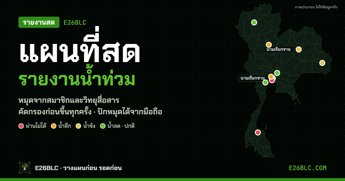
Report what you see right now, such as waterlogging, a closed road, receding water or anything unusual, straight to the war room of E26BLC from this page. People can ask for help or say they are safe, and volunteer teams can check in with their location and status, all in the same form. The team screens every report before it goes on the live map.
Report an incident and check in, in one form
Choose one of 4 cards: Report what you see, Request help, I am safe or Volunteer team, then drop a pin with GPS in one tap, enter your callsign and send. Your device remembers the callsign for next time. If you are not sure of the location, tap Pin on map yourself and zoom in until you can see the road or lane where it happened. Details help the team a lot, such as the water level, which vehicles can get through and which lanes to avoid.
What should you report?
Send anything that locals or people about to travel through should know. The more detail you give, the more precisely the team can warn others.
What makes a good report
- A clear location Use the Use current location button or drop a pin where you saw it. Road names, lanes, junctions or nearby landmarks help a lot
- Water level compared with things you can see e.g. ankle-deep, knee-deep, up to the curb or half a wheel
- Which vehicles can pass and which lane has less water, e.g. the right lane is passable, the left lane is deep
- When you saw it If you are not sending right away, write the time in the details. Flood conditions change fast
- Safety first Do not wade through water or stop in floodwater to take photos or report. Send it once you are somewhere safe
Radio coordination · E26BLC Zello
E26BLC Zello channel Channel name: E26BLC channel — used to contact and coordinate with the team walkie-talkie style (Push-to-Talk) on your phone. Install the Zello app, then scan the QR code or tap the button below
How does a report reach the war room?
- Send from this page A report or check-in with a location pin and callsign
- The team screens Every report is checked, and each device's first check-in is approved
- On the live map The war room sees the location, coordinates the nearest team and tells field teams what to watch out for
Coordinators in the war room see your report on the same map as water levels, rain, radar, dust, wind and the positions of checked-in volunteer teams. When they select the incident point, the system shows which team is closest, how many kilometres away, in which direction, and what to watch out for within that radius, such as overflowing rivers, deep water on roads or heavy rain. The coordinator then sends a summary to the field team via LINE or Zello radio right away. Information from people on the ground helps aid arrive faster and more safely.
Frequently asked questions
When will my report appear on the map?+
The E26BLC team checks every report before it goes on the board and live map, usually within a few minutes during an event. Reports are shown for 24 hours, then kept as an archive.
What is the difference between a check-in and a report?+
A report tells us what you saw and where, e.g. waterlogging, a closed road or receding water. A check-in tells us where you are and how you are, e.g. safe, need help or a volunteer team ready to help, and is used to coordinate teams in the war room. Both are in the same form; choose from the cards at the top of the form.
Do I need to give my real name or phone number?+
No. Use a callsign or your radio handle instead. The site does not ask for a phone number, email or home address. Locations on the public site are shown roughly, to about 100 m
Can field teams send their location to the war room automatically?+
Yes. Choose Volunteer team in the form and tick Send location automatically every 5 minutes. Keep this page open and the system sends your new location when you move. This works after the device's first check-in has been approved.
Can I send photos with a report?+
For now the form only accepts text and location. If you have photos or clips that confirm the situation, send them via Messenger to the E26BLC page. The team will use them to verify reports and will not publish images showing faces or license plates without permission.
Can I use this page to report hazards other than floods?+
Yes. Choose Report what you see, then write in the What did you see, where? box with details, e.g. fallen trees, landslides, power cuts, broken power lines, fires, thick smoke or strong wind. The team will categorise it and put it on the map.
What should I do in a life-threatening emergency?+
Call a hotline right away: 1669 medical emergency 1784 disaster 191 police emergency. Reports on this website wait until the team sees them; it is not a government emergency channel.
Submitted information is used only for warnings and coordination. Read more in the Privacy policy · See radio channels and hotlines at Hotline 77 Province
Official channels: Department of Disaster Prevention and Mitigation (Hotline 1784) · National Hydroinformatics Data Center · Thai Meteorological Department
is not a government emergency channel. In a life-threatening emergency, always call a hotline first.